
Jason J. Corso
| Snippets by Topic | |
| * | Active Clustering |
| * | Activity Recognition |
| * | Medical Imaging |
| * | Metric Learning |
| * | Semantic Segmentation |
| * | Video Segmentation |
| * | Video Understanding |
| Selected Project Pages | |
| * | Action Bank |
| * | LIBSVX: Supervoxel Library and Evaluation |
| * | Brain Tumor Segmentation |
| * | CAREER: Generalized Image Understanding |
| * | Summer of Code 2010: The Visual Noun |
| * | ACE: Active Clustering |
| * | ISTARE: Intelligent Spatiotemporal Activity Reasoning Engine |
| * | GBS: Guidance by Semantics |
| * | Semantic Video Summarization |
| Data Sets | |
| * | A2D: Actor-Action Dataset |
| * | YouCook |
| * | Chen Xiph.org |
| * | UB/College Park Building Facades |
| Other Information | |
| * | Code/Data Downloads |
| * | List of Grants |
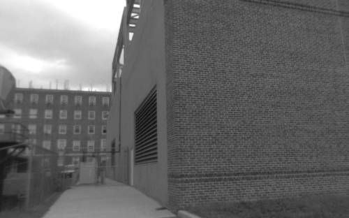
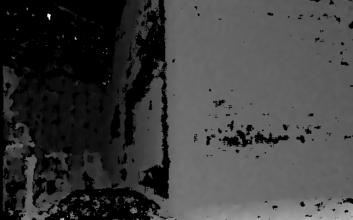
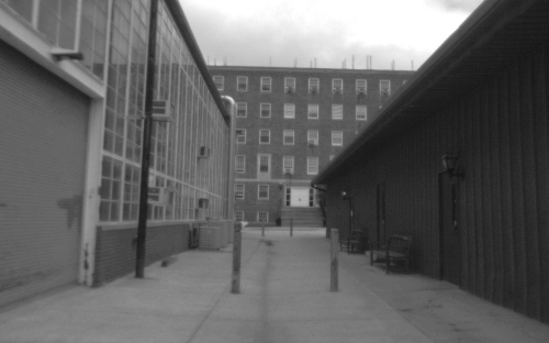
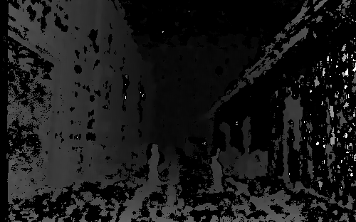
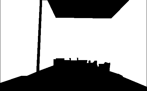
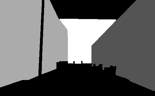
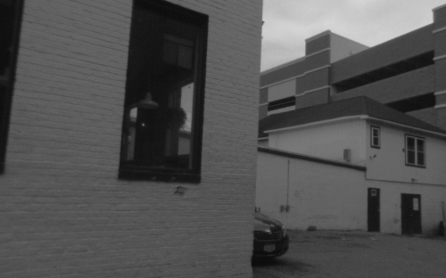
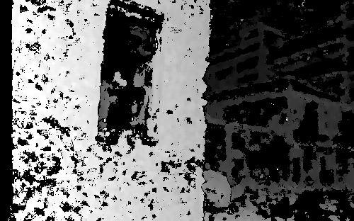
UB/College Park Stereo Building Facade Dataset
A human-annotated stereo image set of segmented building facades
 |
 |
 |
 |
 |
 |
 |
 |
 |
 |
 |
 |
Download the dataset as a .zip file
This set of images was captured on the University of Maryland-College Park campus, as well as nearby College Park, MD, and is intended to include a wide variety of buildings from different camera angles and distances. The original purpose of this data set was for training and testing a system for segmenting individual building facades from an image, and the ground truth images include segmentations of the visible building facades, as well as a two class (building/background) ground truth annotation. All ground truth images were human-annotated. Additionally, The left camera image and the corresponding disparity map for each shot are included.
There are 142 grayscale images along with their corresponding disparity maps and ground truth building facade segmentations. All images were captured with a Tyzx DeepSea V2 grayscale stereo camera which performed the disparity calculation onboard. The camera has a 14 cm baseline and 62 degree horizontal field of view, which provides an accuracy of approximately 0.5 m at a range of 15m, so the useful range for these disparity images is somewhat shorter than that. Please note that some of the ground truth annotations take this into account and some distant buildings are labeled as background (see the 3rd example above). All images, disparity maps, and ground truth annotations have 500 x 312 resolution.
If you have any questions, or need any assistance with this data set, please feel free to contact us: Jeffrey A. Delmerico, at: jad12@buffalo.edu or Jason J. Corso jjcorso@eecs.umich.edu .